Operating since 1991
 80+ employees
 Branch offices over all destinations
 Fast & easy booking
Check out the latest offers for Myanmar Short Trips
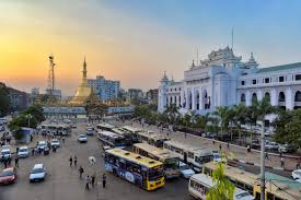
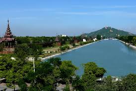
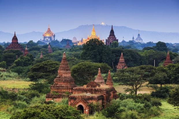
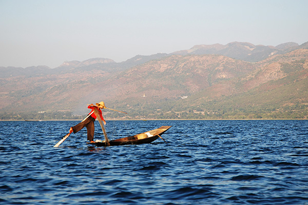
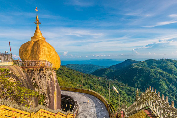
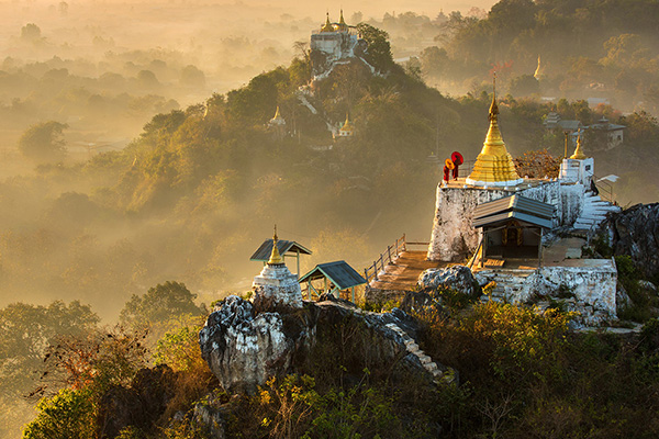
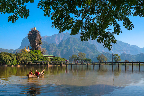
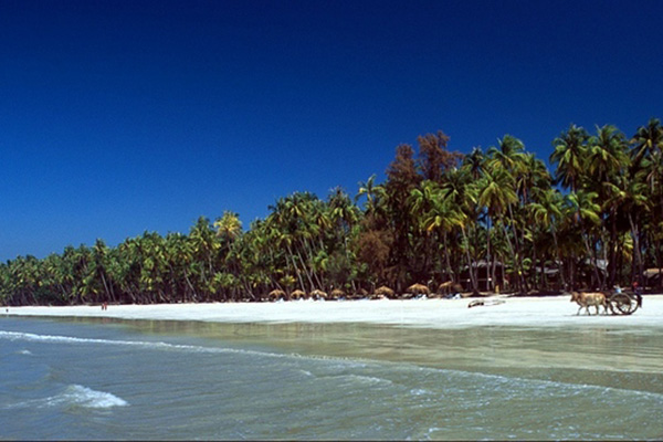
Find Short Trips by top destinations in Myanmar
Hi, I want to thank you for the beautiful trip you have organised for me. Mostly I travelled alone but in the weekend my son joined me so he...
Emmy GrooffThanks Golden Express Tours! They managed our complicated tour really excellent. As well in planning and achievement. We had absolutely ...
Immo MäuelerDear Honey, I wanted to thank you very much for planning the trip to Mandalay and Inle lake. It was amazing and exceeded my expectations&#...
SophieThe Golden Eagle balloon ride was one of the highlights of our Myanmar trip, albeit the most expensive we had on the roundtrip. We do not re...
Melanie MaierThe balloon ride was unique and was worth it. Golden Eagle is highly recommended! Thank you for an unforgettable experience in beautiful...
Katharina WierGreetings of the day and Happy New year to you and your team. I would like to thank you for arranging a wonderful holiday for us at Myanm...
Mr. Amit Kar & Mrs. Ploypairin Chearaman


 Whatsapp
  Viber: +95-9-775602007


 Send Us Your Request